Here are some ideas for geography models
2023-12-01
Creating geography models can be an engaging and effective way to learn about various geographical features, landscapes, and concepts. Here are some ideas for geography models:
1. Topographic Map:
- Use salt dough or modeling clay to create a relief map representing different elevations. Paint or label the map to showcase mountain ranges, valleys, rivers, and other landforms.
2. Landform Models:
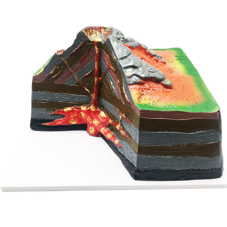
- Create individual models of specific landforms such as mountains, volcanoes, valleys, plateaus, and coastal features.
- Use various materials like clay, or styrofoam to sculpt and paint these landforms.
3. Erosion and Deposition Model:
- Build a model to demonstrate the processes of erosion and deposition. You can use sand, water, and small objects to represent the effects of wind, water, and glaciers on the landscape.
4. Hydrological Cycle Model:
- Illustrate the water cycle using a diorama or 3D model. Include representations of evaporation, condensation, precipitation, and runoff.
5. Ocean Floor Model:
- Create a model of the ocean floor using a shoebox or a larger display board. Include features like mid-ocean ridges, trenches, and abyssal plains.
6. Population Density Map:
- Build a model that represents population density in different regions. Use materials like beads or small figures to represent populations and place them on a map to show variations.
7. Climate Zone Model:
- Create a model showcasing different climate zones. Use colored paper or fabric to represent tropical, temperate, polar, and arid regions on a large display board.
8. Plate Tectonics Model:
- Construct a model to demonstrate plate tectonics and continental drift. Use materials like clay to represent tectonic plates and show how they interact at plate boundaries.
9. River System Model:
- Build a model of a river system with its tributaries. Use sand, pebbles, or modeling clay to represent the terrain, and include labels for major rivers and their tributaries.
10. Cityscape Model:
- Create a model of a city or urban area. Use cardboard, paper, and small objects to represent buildings, roads, parks, and landmarks.
11. Weather System Model:
- Construct a model to represent weather patterns and systems. Include elements like clouds, rain, and wind to illustrate how weather phenomena occur.
12. Biome Diorama:
- Build dioramas representing different biomes such as rainforests, deserts, tundras, or grasslands. Use natural materials to create the flora and fauna of each biome.
13. Cultural Landscape Model:
- Represent the cultural aspects of a region by creating a model that includes landmarks, architecture, and cultural symbols.
14. Satellite Image Model:
- Use satellite imagery as inspiration to create a model that represents the landscape of a specific region or country.
These geography models can be used for educational purposes, science fairs, or as visual aids in geography lessons. Tailor the complexity and scale of the models based on the intended audience and learning objectives.


